First Alert: High surf warning extended as another extra large northwest swell rolls in
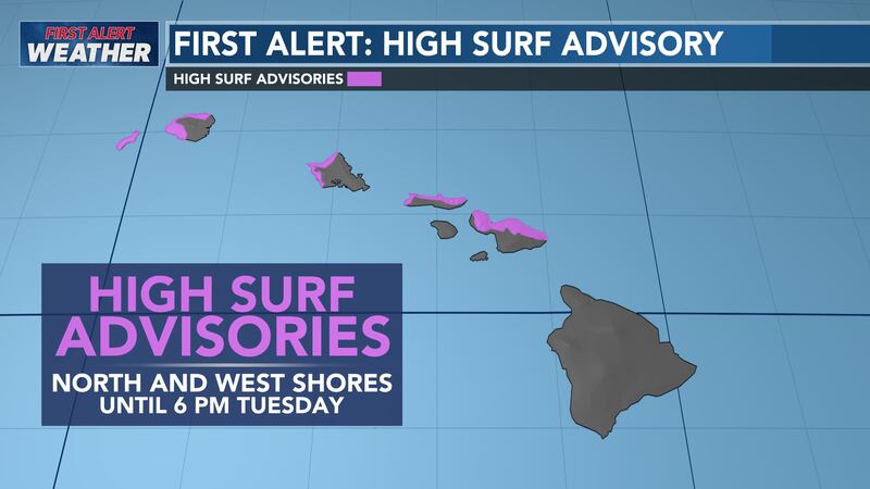
HONOLULU (HawaiiNewsNow) - A High Surf Warning remains posted for most north and west shores for another extra-large swell as the winter surf season continues.
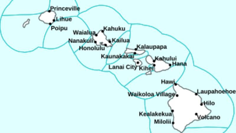
The National Weather Service in Honolulu said the warning will be in effect until 6 a.m. Saturday for the north and west facing shores of Niihau, Kauai, Oahu, and Molokai, north facing shores of Maui, and west facing shores of Hawaii Island.
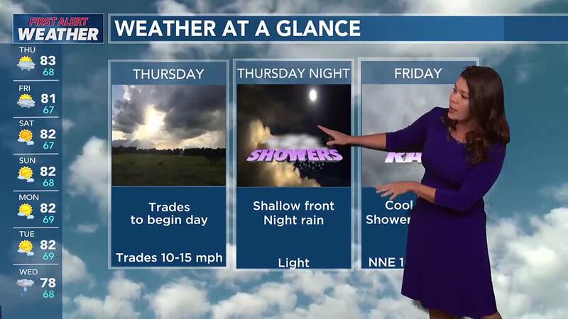
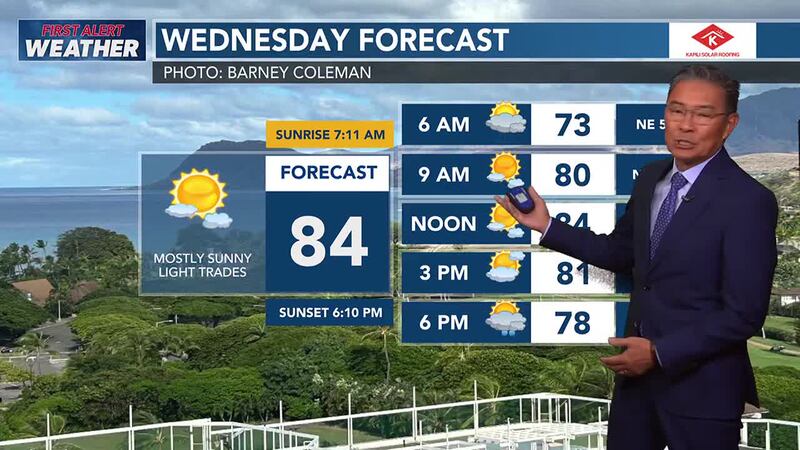
Surf along exposed north and west facing shores will remain well above warning levels Friday, then slowly ease Friday night through the weekend as an extra-large west-northwest to northwest swell gradually eases.
Here’s a look at what the models are showing for early Saturday:
- North shores of Niihau, Kauai, Oahu, Molokai, and Maui: Surf of 30 to 40 feet, lowering to 18 to 25 feet
- West shores of Niihau, Kauai, Oahu, and Molokai: Surf of 20 of 30 feet, lowering to 15 to 20 feet
- West shores of Hawaii Island: Surf of 10 to 14 feet, lowering to 8 to 12 feet
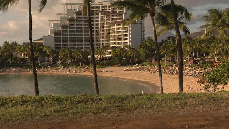
Beachgoers, especially visitors who are unfamiliar with local ocean conditions, should stay far away from the shoreline, where breaking waves could easily sweep across the sand and rocks and pull you into the ocean.
Ocean water can also surge over beaches, coastal benches and lava flow deltas and potentially damage coastal properties and infrastructure.
Powerful longshore and rip currents will also be present at most beaches.
For mariners, strong breaking waves and currents may also impact harbor entrances and channels and make it difficult to handle boats.
Copyright 2024 Hawaii News Now. All rights reserved.