First Alert Forecast: Weak front expected late Thursday through Saturday with lighter winds and more showers
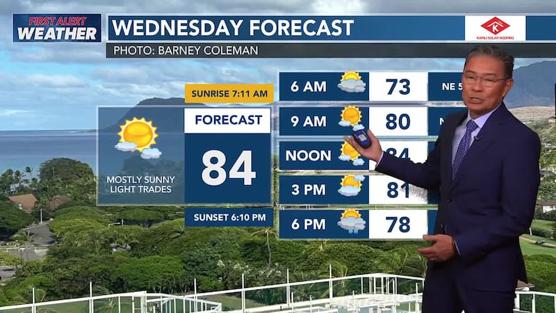
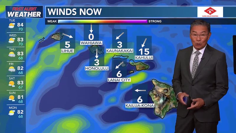
HONOLULU (HawaiiNewsNow) - Moderate to locally breezy trades will ease today and tonight.
Trade showers are expected to diminish as well, though some showers could linger for windward Big Island and Maui through tonight.
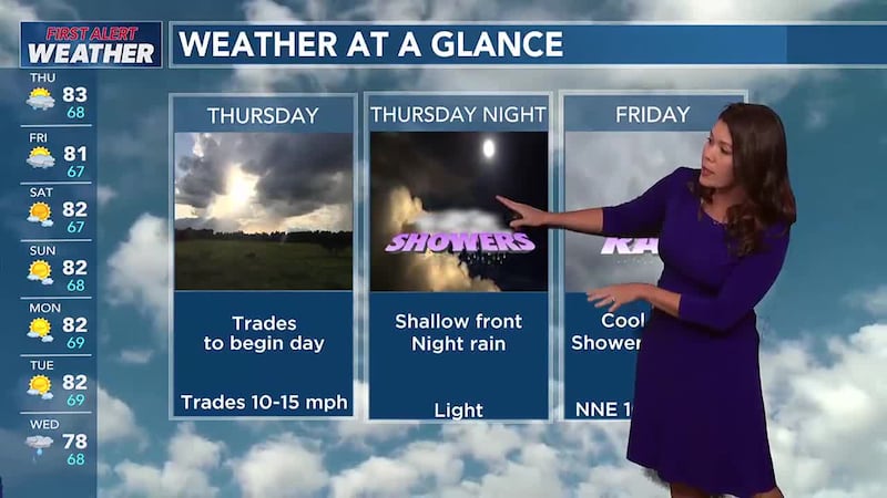
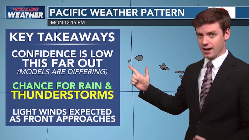
A relatively weak and disorganized cold front will push down the chain Thursday night through Saturday.
Unstable air associated with the front should enhance showers during this period, with a small chance for a couple rumbles of thunder for Maui and the Big Island on Friday.
More stable and dry air should fill in behind the front on a rather cool northerly flow which will shift around to northeast trades over the Holiday weekend.
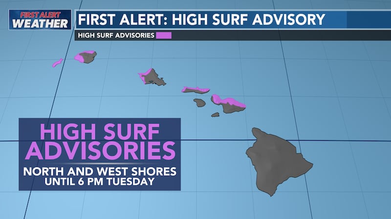
A warning level NW swell is due late Friday, a smaller NW swell is due on Tuesday.
A near advisory south swell is due Thursday, peaking Friday.
East shore surf will be dropping along with the easing winds.

Copyright 2025 Hawaii News Now. All rights reserved.