First Alert Forecast: Cold front expected to bring lighter winds with possible thunderstorms on Thursday
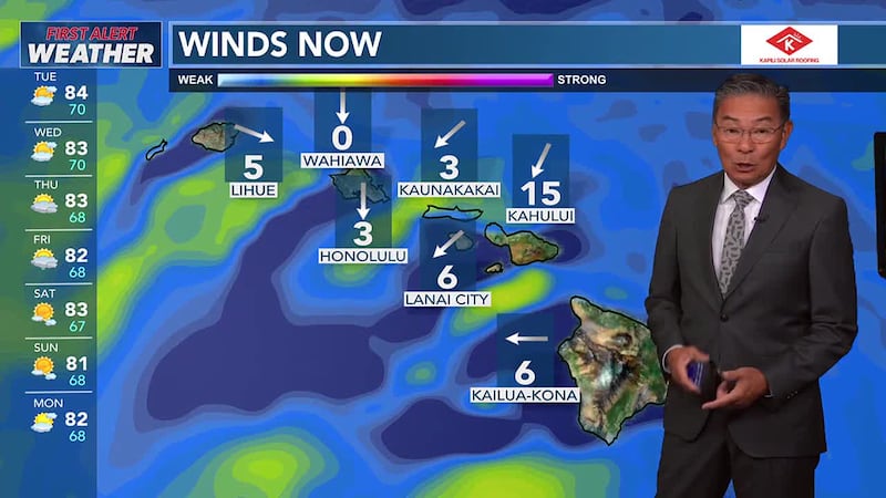
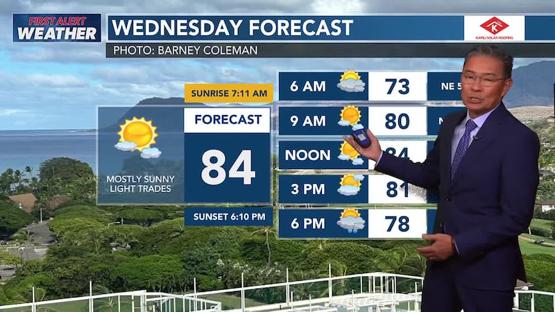
HONOLULU (HawaiiNewsNow) - Moderate easterly trade winds will persist through midweek, with clouds and brief showers favoring windward and mauka areas.
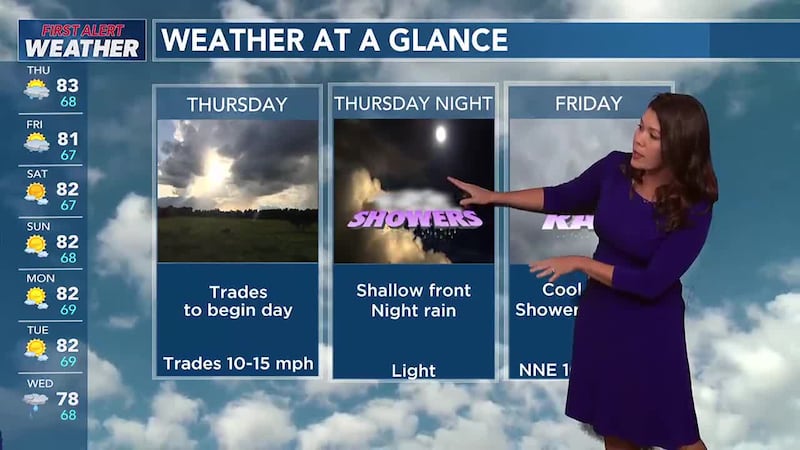
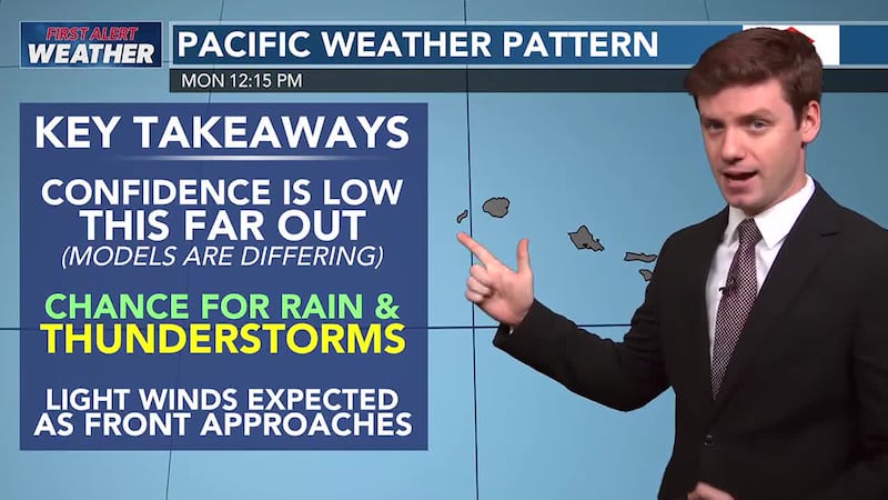
A cold front and upper disturbance approaching and moving into the area Thursday through Friday will disrupt the trades, potentially bringing another round of showers and thunderstorms.
While residual moisture may keep rain chances in the forecast through Saturday, a more stable and dry air mass, along with a return of northeast trade winds, is possible by the end of the weekend.
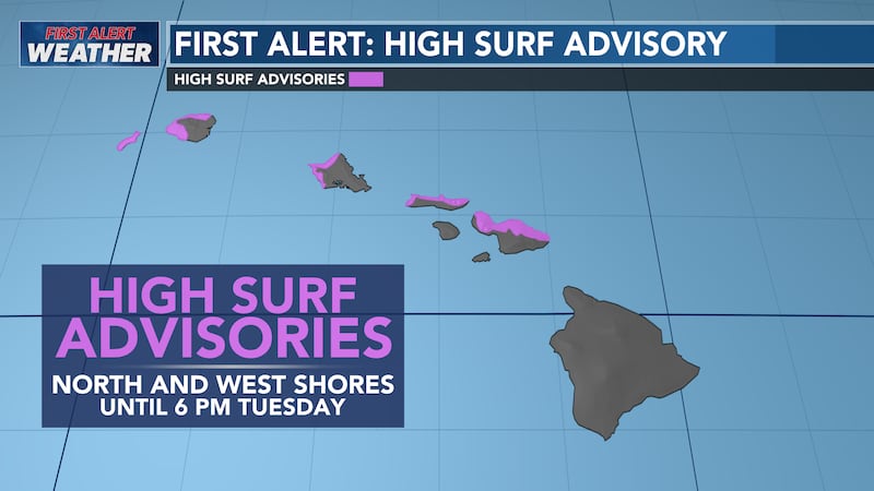
The High Surf Advisory (HSA) is currently in effect for north and west facing shores of Niihau, Kauai, Oahu, and Molokai and north facing shores of Maui through Tuesday.
Another warning level NW swell is due on Friday.
A moderate long period south swell is expected to start filling in Thursday, peak on Friday and slowly ease over the weekend.

Copyright 2025 Hawaii News Now. All rights reserved.