First Alert Forecast: Cold front approaching with scattered showers and trade winds
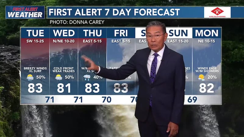
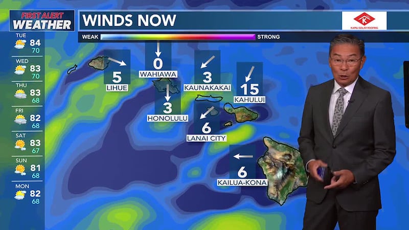
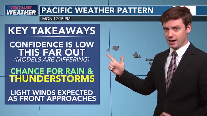
HONOLULU (HawaiiNewsNow) - A cold front will approach the islands overnight through Tuesday, bringing moist southerly winds and increasing rainfall chances. The front will reach Kauai Tuesday night, then stall and diminish around Oahu and Molokai Wednesday through Thursday. Lingering residual moisture combined with an upper disturbance over the region will keep rainfall chances around through the second half of the week. As trade winds gradually return, the focus of rainfall will shift to windward and mauka areas later in the week through the weekend.
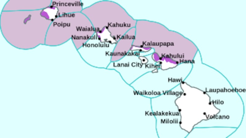
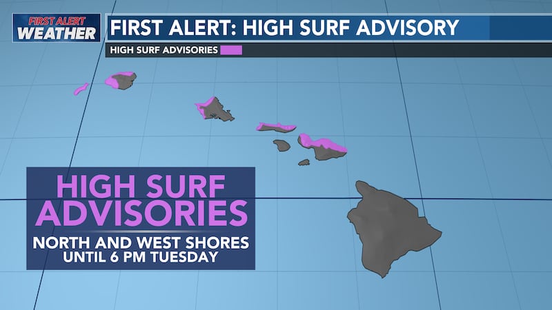
Overlapping L to XL long-period NW swells will maintain High Surf Warning-level surf along most N and W facing shores through Thursday. The next big boost is due Wednesday, another big boost is due over the weekend.
MORE: High surf warning extended again into Thursday for most north and west shores

Copyright 2025 Hawaii News Now. All rights reserved.