First Alert Forecast: More of the best weather on the planet today, more showers due tomorrow
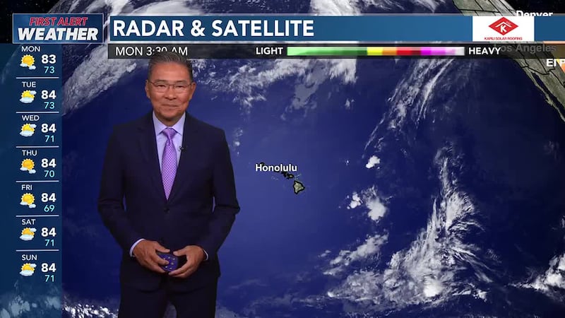
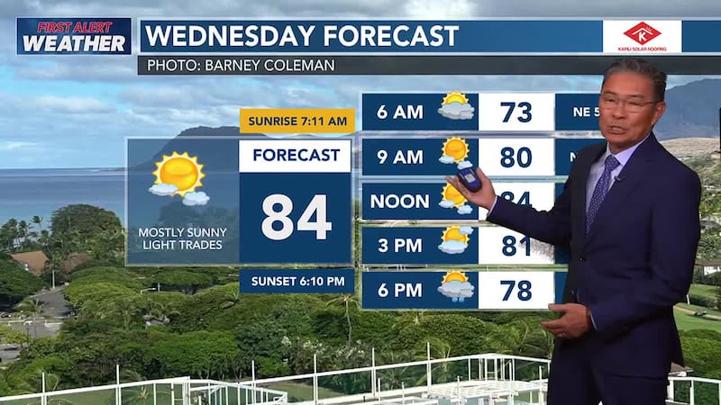
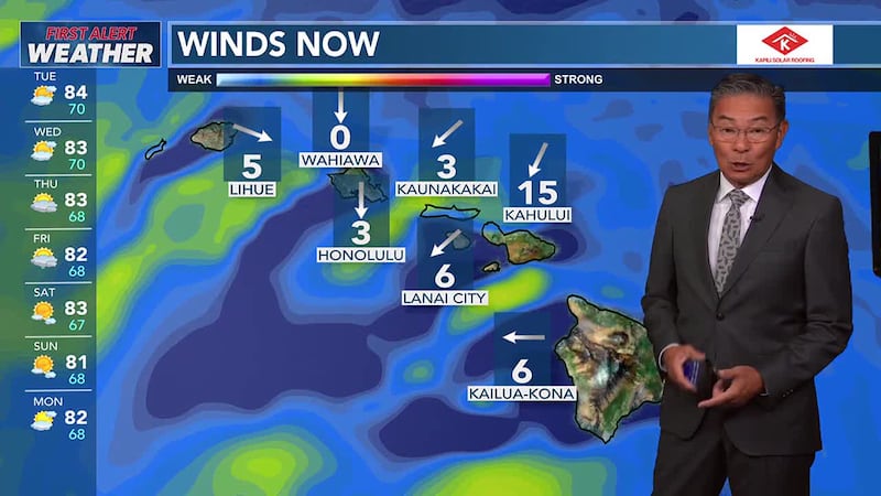
HONOLULU (HawaiiNewsNow) - Typical trade wind weather is expected for most of this week, with moderate to breezy wind speeds and scattered showers focused over windward and mountain areas primarily during the overnight and morning hours. On Tuesday, a plume of moisture will move in from the east, which should give a boost to shower activity over windward and mauka areas of Maui County and Hawaii Island during the day. The rest of the islands should see an increase in windward showers Tuesday night into Wednesday morning as the plume continues westward and lingers around Kauai. A dry air mass will follow on Wednesday. Trades will weaken Friday into next weekend.
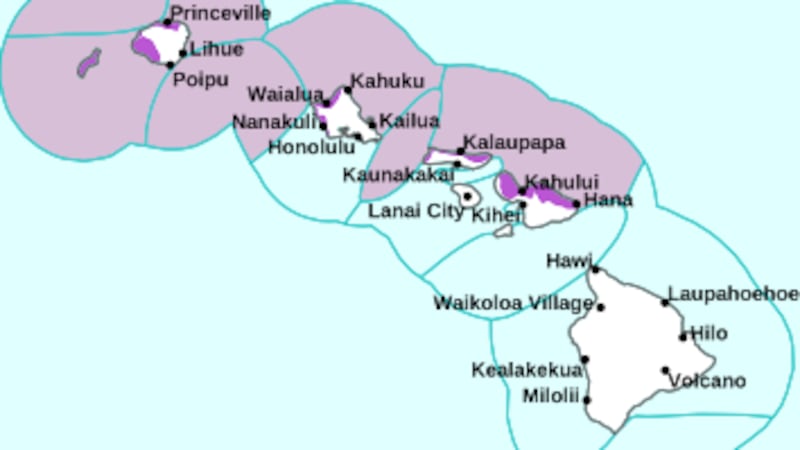
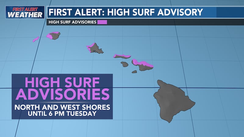
A northwest (300-320) swell will arrive Thursday and likely produce advisory level surf. Surf along south and east facing shores is expected to remain small through the week.

Copyright 2024 Hawaii News Now. All rights reserved.