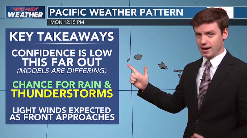
First Alert Christmas Forecast: Breezy winds hold today, lighter winds due tomorrow
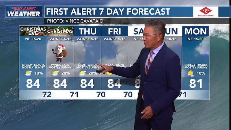
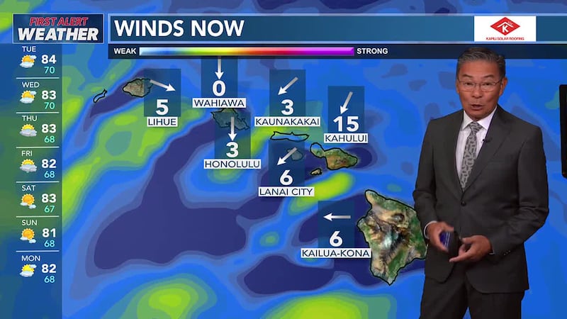
HONOLULU (HawaiiNewsNow) - A high pressure system passing north of the Hawaiian Islands will keep moderate to breezy trade winds in the forecast through Tuesday. Winds will veer from the east southeast direction and weaken to light to moderate levels from Wednesday through Friday. A shallow cold front and upper level disturbance are forecast to move into the islands this weekend. Expect another round of moderate to breezy trade winds as a high builds in behind the dissipating front, enhancing trade wind showers over the typical windward and mountain areas.
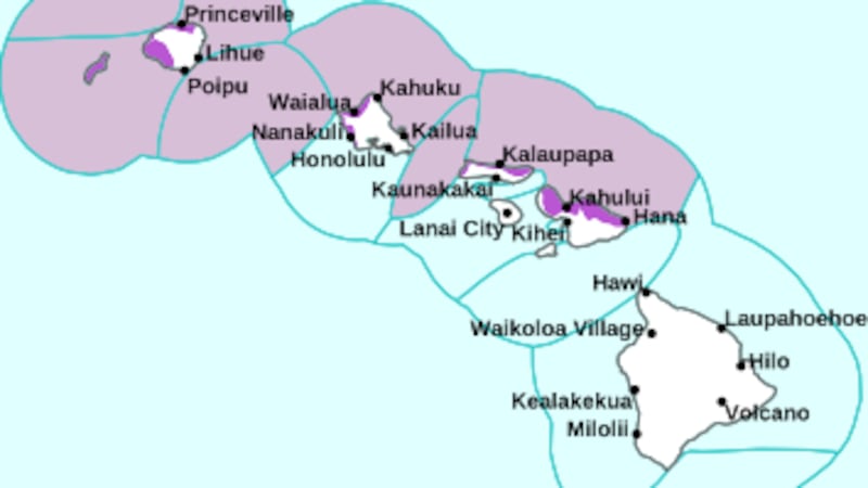
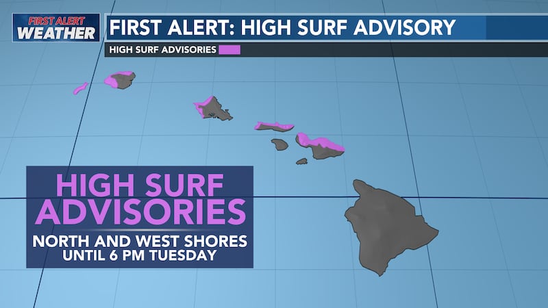
A High Surf Advisory (HSA) remains in effect along north and west facing shores through 6 pm HST Tuesday, but surf heights may drop below thresholds earlier than that. The next large, long period northwest swell (310 degrees) is expected to fill in late Wednesday night with warning level wave heights. Surf along east facing shores will briefly become rough and choppy tonight and Tuesday as trade wind swell has picked up.

Copyright 2024 Hawaii News Now. All rights reserved.