First Alert Weather: Moderate to locally breezy trade winds to bring windward, mauka showers
HONOLULU (HawaiiNewsNow) - Beautiful sunshine with windward and mauka showers are forecasted to drift leeward at times. Vog will be pushed across Mauna Loa towards the Kona side of Hawaii Island and out to sea.
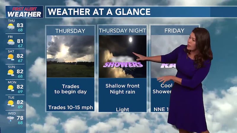
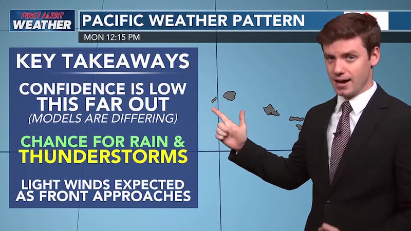
Enjoy the trade winds Sunday through early Wednesday. The trades will cut off late Wednesday through Thursday as a strong cold front approaches from the north, with showers favoring the island interiors each afternoon.
A cold front could bring some more widespread rainfall to the island chain on Thursday night and Friday, with the potential for some heavier showers and even a few thunderstorms not out of the question.
A transition back to a more typical trade wind pattern is expected next weekend.

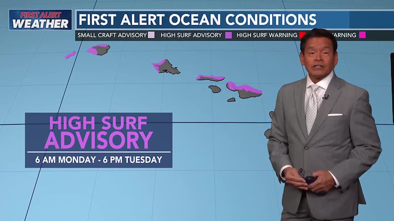
Moderate long-period NW swell fills in across north and west facing shores.
Surf is expected to peak this afternoon, with a slightly larger NW swell arriving early Monday, peak Monday through Tuesday. An even larger, long-period NW is expected at the end of the week.
Surf along east facing shores will hold relatively steady Sunday, south shore surf will be small.
An out of season long-period south swell may move through the islands at the end of the week, bringing a sizable boost to south shore surf.
Copyright 2025 Hawaii News Now. All rights reserved.