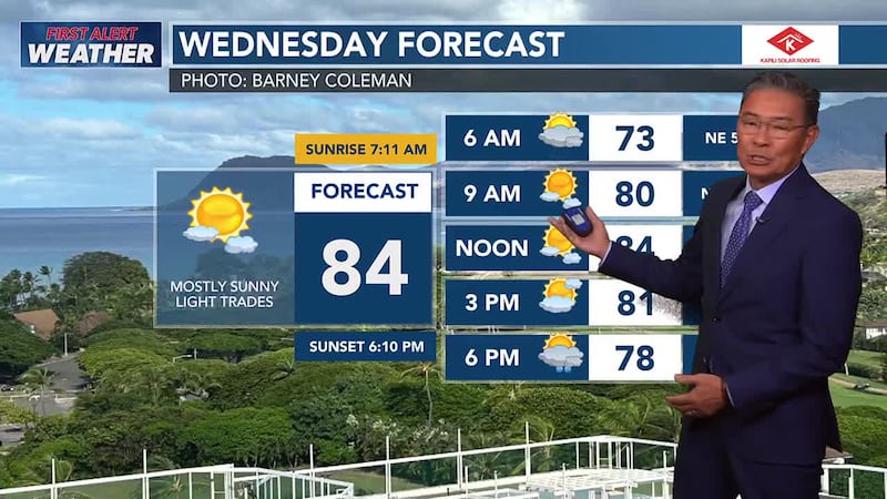
First Alert Forecast: High surf warning continues with more light winds and hazy skies
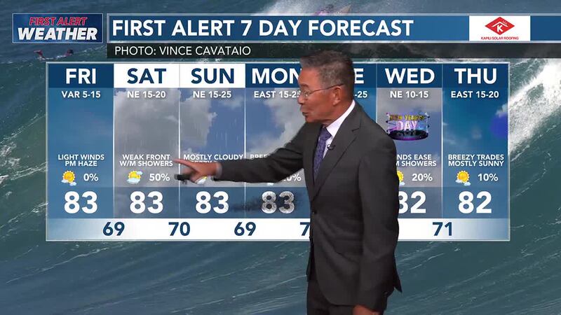
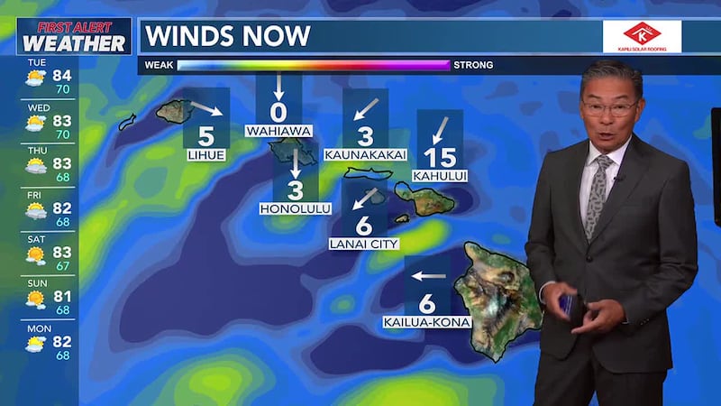
HONOLULU (HawaiiNewsNow) - A ridge over the islands will maintain light winds and dry conditions through Friday. A new ridge building north of the islands this weekend will bring a return of trade winds, while a weakening front and its associated upper level feature will help to enhance trade wind showers this weekend, mainly during the overnight and early morning hours along windward and mountain slopes of each island.
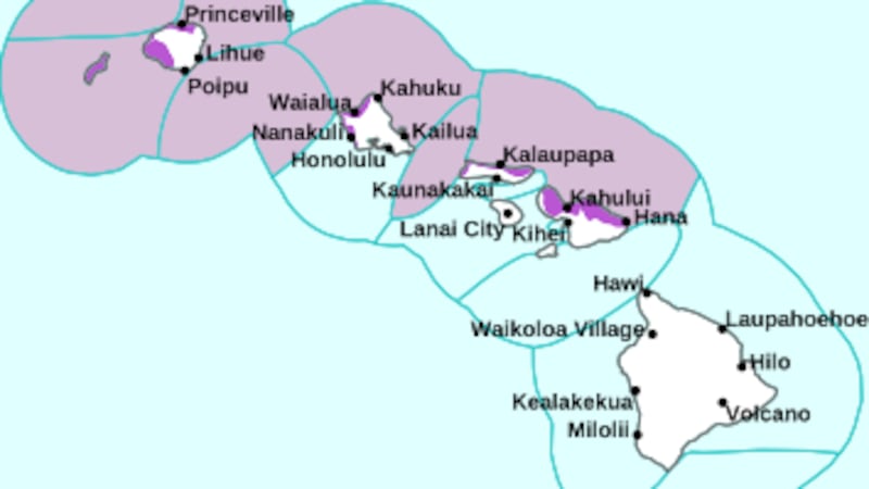
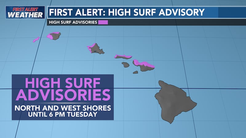
First Alert: High surf warning issued for another extra large northwest swell
The High Surf Warning for most north and west shores extended until Friday evening. This swell is forecast to slowly taper off over the weekend but will still bring hazardous conditions to exposed areas. Another upward trend is possible early next. Surf along south and east-facing shores will remain small through early next week, except for south-facing shores exposed to the west-northwest swells, which could see a slight rise overnight through Friday.

Copyright 2024 Hawaii News Now. All rights reserved.